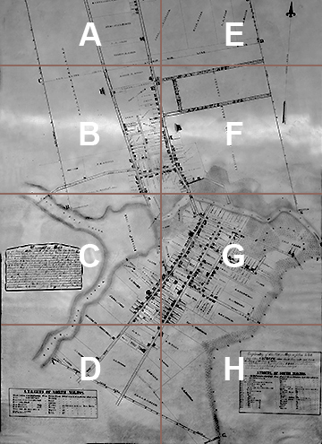
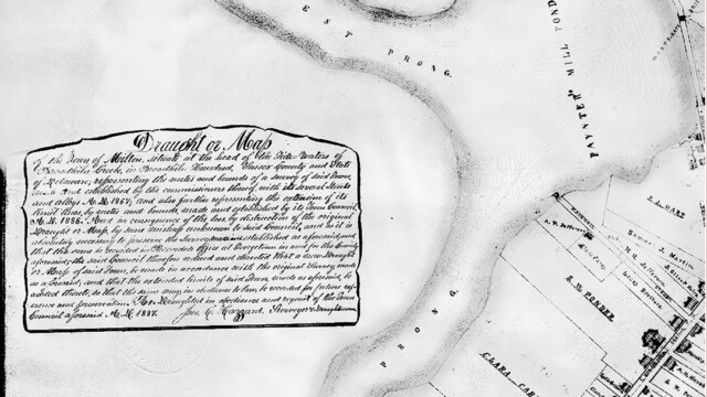
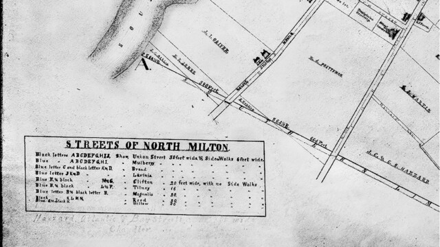
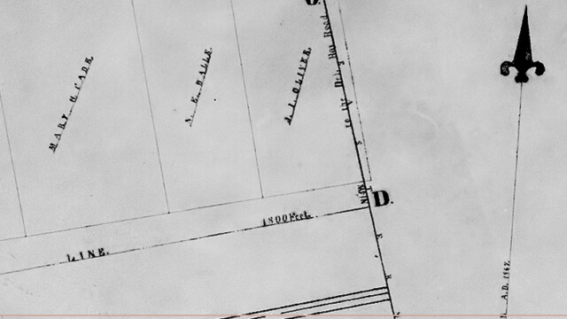
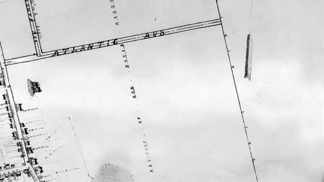
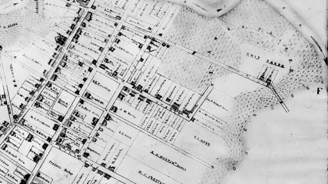
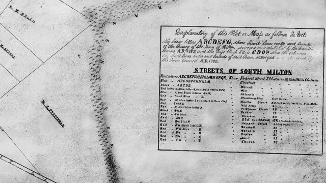
A carefully hand-drawn and -lettered “Draught or Map” of the town of Milton hangs in a frame in the Town Hall on Federal Street. It is over 40 inches tall and 30 inches wide, and as a consequence is filled with a huge amount of detail about land ownership, improved vs unimproved lots, physical features, streets and roads. A statement as to who commissioned the map, and to what end, appears on the lower left and reads as follows:
Draught or Map
of the Town of Milton, situate at the head of the Tide Waters of Broadkiln Creek in Broadkiln Hundred, Sussex County and State of Delaware; representing the metes and bounds of a survey of said Town, made and established by the commissioners thereof, with its several streets and alleys A. D. 1867; and also further representing the extension of its limit lines, by metes and bounds, made and established by its Town Council, A. D. 1886. And in consequence of the loss by destruction of the original Draught or Map, by some mishap unknown to said Council, and as it is absolutely necessary to preserve the Survey, made and established as aforesaid, and that the same be recorded in Recorder’s Office at Georgetown in and for the County aforesaid, the said Council therefore ordered and directed that a new Draught or Map of said Town, be made in accordance with the original Survey, made as aforesaid; and that the extended limits of said Town, made as aforesaid, be added thereto, so that the same may, in obedience to law, be recorded for future reference and preservation. [?] Draughted in obedience and request of the Town Council aforesaid A. D. 1887.
Jno. C. Hazzard, Surveyor & Draughtsman
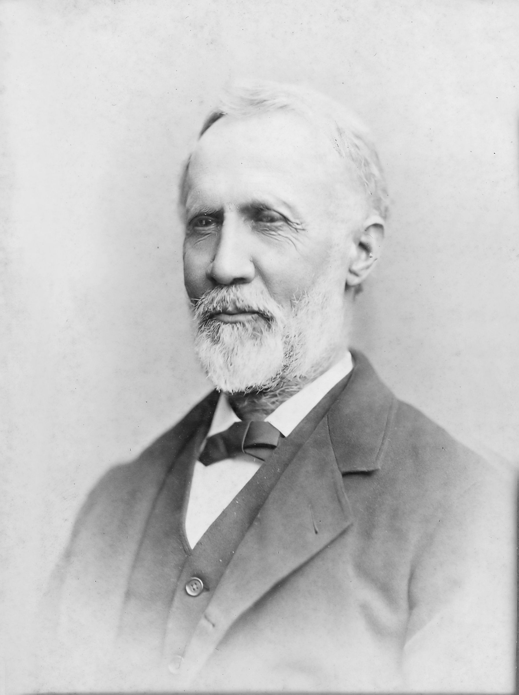
The surveyor who prepared the map was none other than John Coard Hazzard (1819 – 1916), who prepared many smaller surveys in support of land transfers in and around Milton over a long career. He began adult life as a schoolteacher, but moved into surveying early on. A leading citizen of the town and active in Republican politics (but never seeking political office), he was 67 years old when he was commissioned by the Milton Town Council to map the growing town. I have seen at least one other survey Hazzard performed – in 1903, for the Wagamon Mill construction – that indicates he was professionally active into his 80’s.
The map that hangs in Town Hall today was completed in 1887 and is a duplicate of the one that was commissioned in 1886; two were drawn, one for the County Recorder in Georgetown and one for Milton Town Council, so that at least one would survive loss due to fire or other disaster. This map was one of the two (the other being the 1868 Beers Atlas map for Milton) key references for the 1982 and 2014 inventories of homes proposed for inclusion in the Milton Historic District. As such, it contains a wealth of information for researchers of 19th century Milton. I will be making use of it in subsequent postings on this blog.
The easiest way to scan the entire map is in pdf; the PDF VERSION can be opened by any software on your PC that can read it (Acrobat Reader, browsers such as Safari, Chrome, etc.). It can also be downloaded. Note that I have removed the antique colored background of the paper to improve contrast and readability.
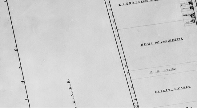
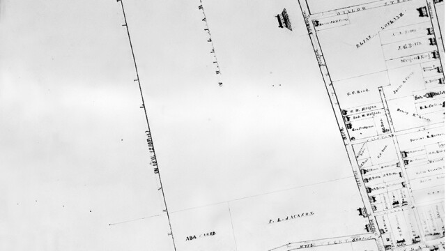
For quick viewing within this posting, I have split the map into multiple pages following this scheme:

Another Miltonian of the same name, John Coard Hazzard (4/28/1754 – 12/26/1825), was the man on the helm (i.e. rudder) of Washington’s boat when he crossed the Delaware!!
You are correct; I believe this was the father of Governor David Hazzard. I am not sure if this John Coard Hazzard’s presence on Washington’s boat has been irrefutably established, but it a lot of people have spoken or written to that effect. Thanks for pointing this out.